
Overview maps
(For detailed maps of sampled waterbodies, visit Waterbodies...)
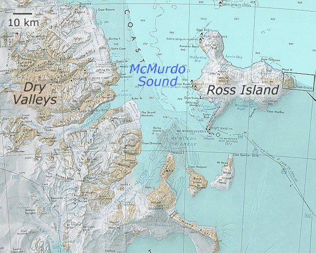
Overview of McMurdo Dry Valleys Region. Map fragment from USGS.
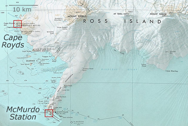
Southern Ross Island. Map fragment from USGS.
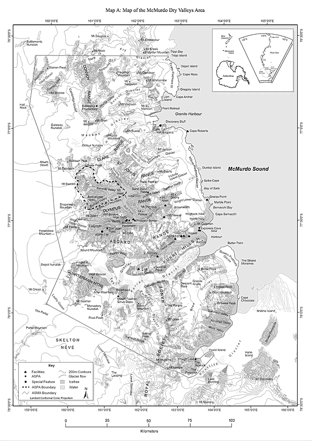
Dry Valleys Region. Map from the New Zealand Antarctic
Institute web site.
Higher resolution version: 0.5
Mb PDF
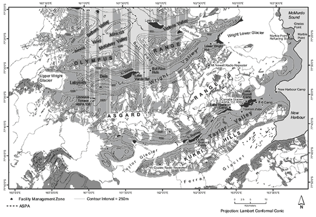
Wright and Taylor Valleys. Map from the Antarctic Treaty
Secretariat web site.
Higher resolution version: 1.2 Mb PDF
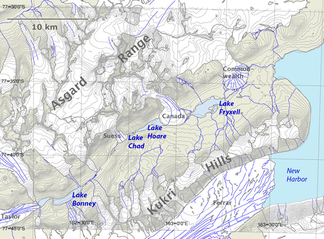
Taylor Valley. Map created from the MCM LTER GIS database.
Higher resolution version: 0.4
Mb JPG