
Description
Lake Hoare occupies a narrower portion of the Taylor Valley, dammed by the Canada Glacier. It would drain almost completely without this dam. There are a number of islands which may be related to an old terminal of Canada Glacier. The lake is fed primarily from direct runoff from the glacier, as well as meltwater streams. (Lake level rose ~1.5 m between 1972 and 1996). There are no surface outflows; the only known water loss is through ice ablation (evaporation, sublimation and physical scouring). Lake elevation: 73 m. Maximum depth: 34 m.
Environmental data
Hydrological, biological, chemical, and physical property measurements have been made for a number of McMurdo Dry Valley streams and lakes.
See: LTER Data
Lake Hoare, Taylor Valley.
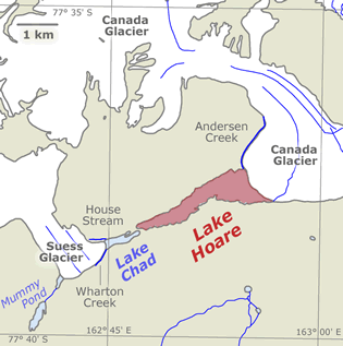
See: Overview maps
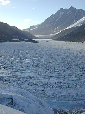
Lake Hoare with Suess Glacier in the background. 0. Photo: LTER Web site.
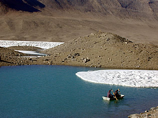
Padding the mopat in Lake Hoare. 0. Photo: LTER Web site.
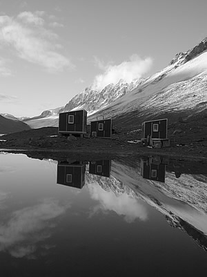
Lake Hoare camp. 0. Photo: LTER Web site.
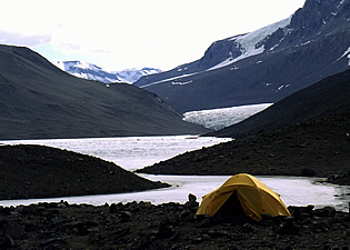
A Lake Hoare campsite. 0. Photo: Arne Bomblies.
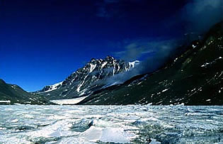
1882 Mountain and Lake Hoare. 1998. Photo: Michael Gooseff.
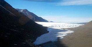
Aerial view of Lake Hoare, dammed by the Canada Glacier. 2004. Photo: Chris Jaros.